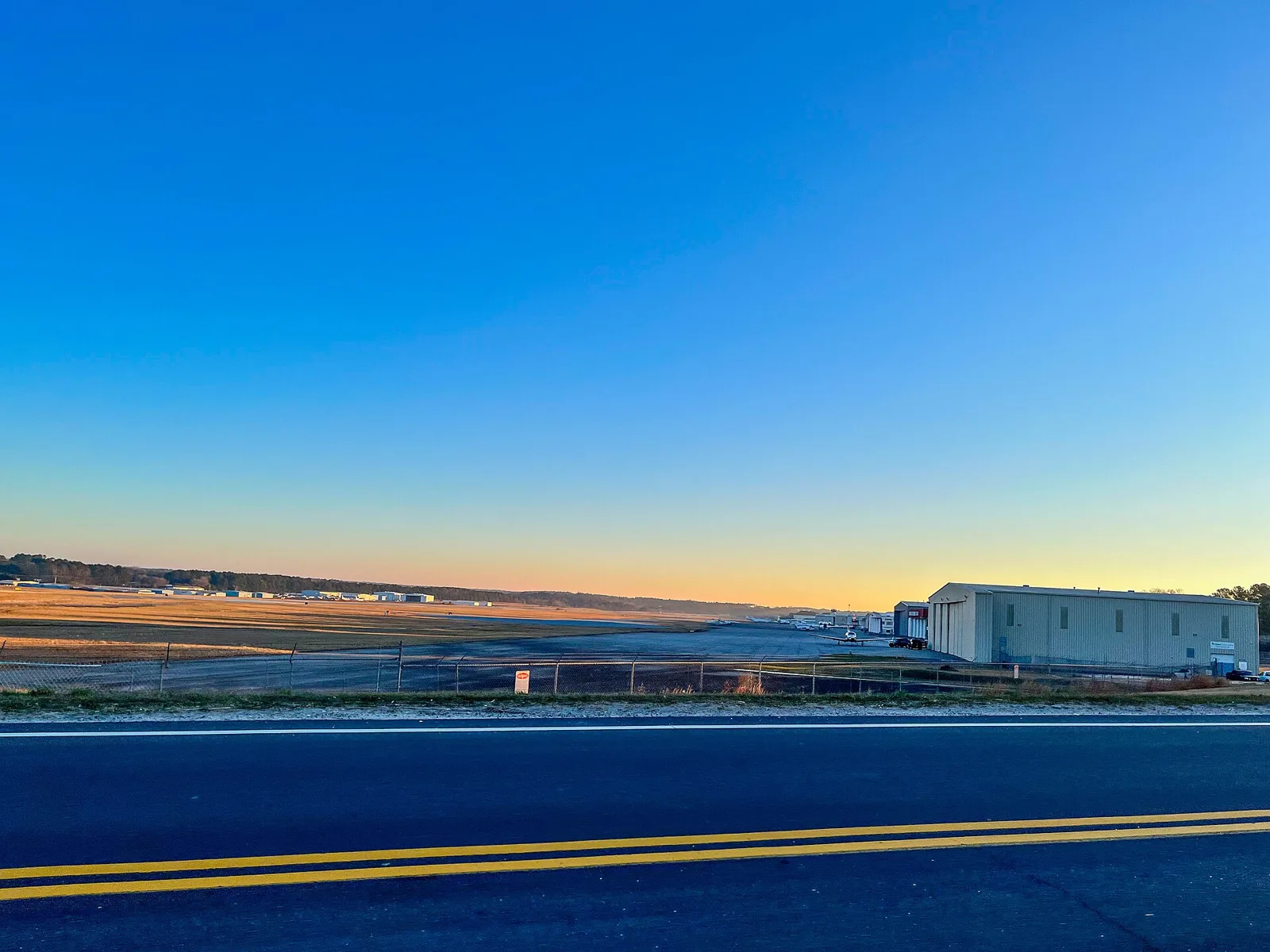
East Lawrenceville from Rhodes Jordan Park to Paper Mill Road and Briscoe Field: 2,499 addresses, 99% zoned for Central Gwinnett High.
Last checked Oct. 6, 2026. Sources: the City of Lawrenceville’s 2045 Comprehensive Plan (PDF) and its character area map service, Gwinnett County’s address point and school zone map data, the federal NCES school directory, the state’s 2025 School Grades data, Zillow Research, Ride Gwinnett and OpenStreetMap.
East of the square, East Crogan Street runs past Rhodes Jordan Park toward Winder. On this side of town are the city’s largest county park, Jenkins Elementary and Jordan Middle, and neighborhoods of houses, condos and townhomes along Paper Mill Road and Springlake Road. To the northeast, past Hurricane Shoals Road, is Gwinnett County Airport-Briscoe Field.
What this means for you
- Zoned high school: Central Gwinnett High, for 99% of addresses. Check yours with Find My School.
- Home value: $340,279 in ZIP 30046 in August 2026, according to the Zillow Home Value Index.
- Nearest Ga. 316 interchange: Buford Drive, about 1.9 miles north of the middle of the area in a straight line.
Part of our Lawrenceville neighborhoods guide.
Where it is
On this page the area is east and northeast Lawrenceville: east of Buford Drive (Ga. 20) and north of New Hope Road, from the edge of downtown to the city line, with East Crogan Street (U.S. 29) through the middle. South of New Hope Road is the Grayson Highway area.
Gwinnett County’s address data has 2,499 addresses here: 57% single buildings, 17% apartment units, 14% condos, 8% parcels and 4% townhomes. 98% are in ZIP code 30046. On the city’s character area map, 54% are Traditional Residential and 35% Mixed Residential, the plan’s label for areas with “a range of housing options.” Inside city limits the city provides police and trash pickup; Gwinnett County provides fire and EMS.
The northeast corner is the plan’s Airport character area around Gwinnett County Airport-Briscoe Field, which the plan says has a 6,000-foot runway and sits about two miles northeast of downtown. Gwinnett County owns most of that land, so the city’s role there is the private property around it.
The plan’s work list includes a $54.3 million county widening of Crogan Street (U.S. 29) from Paper Mill Road to Ga. 316, $110.8 million in interchange improvements at Ga. 316 and Hi Hope Road, and a Rhodes Jordan “edge trail” from Ga. 20 to the railroad. It expects the East Crogan Street and Paper Mill Road intersection to fall from level of service D to E in the morning peak by 2050.
Schools
How the area’s addresses split in Gwinnett County Public Schools’ zone map, matched address by address on Oct. 6. Scores are 2025 College and Career Ready Performance Index (CCRPI) figures from the state’s School Grades report; the state average was 78.0 and the district’s 81.5.
| Level | School | Share of addresses | 2025 CCRPI |
|---|---|---|---|
| High | Central Gwinnett High (report card) | 99% | 67.5 |
| Middle | Jordan Middle (report card) | 99% | 77.3 |
| Elementary | Jenkins Elementary (report card) | 71% | 75.2 |
| Elementary | Simonton Elementary (report card) | 28% | 64.2 |
The Simonton addresses are at the south end, toward New Hope Road. Thirty addresses near the airport are zoned for Mountain View High (77.4), Twin Rivers Middle (93.3) and Dyer Elementary (90.6). Jenkins Elementary, 12 Village Way, and Jordan Middle, 8 Village Way, are inside this area, according to the federal school directory. More in our Lawrenceville schools guide.
Home values
The typical home value in ZIP 30046 was $340,279 in August 2026, down 2.85% from $350,276 in August 2025, according to the Zillow Home Value Index. The index is a modeled typical value for the middle third of homes, not a sale price, and covers the whole ZIP code, including homes outside city limits. The citywide Lawrenceville figure was $376,674, down 2.55% on the year. More in our home prices guide.
Parks and trails
- Rhodes Jordan Park, 100 E. Crogan St.: 162 acres with a recreation center, a summer outdoor pool, lighted tennis and pickleball courts, seven baseball and softball fields, three soccer fields, a fishing lake, playgrounds, a community garden and a 1.9-mile paved trail (park page).
- Heritage Trail: the city’s medallion walk ends at Rhodes Jordan Park after starting at the Fallen Heroes Memorial, 75 Langley Drive (city page).
More in our parks guide and walking and biking trails guide.
Getting around
- Ga. 316: the nearest interchange is at Buford Drive, north of the area. I-85 is reached at Exit 106 by Ga. 316 west.
- City Hall: about 2.4 miles by road from the middle of the area.
- Airport: about 42.5 miles to Hartsfield-Jackson Atlanta International Airport. Both are distances measured on the OpenStreetMap road network with the OSRM routing engine, not drive times. Briscoe Field handles general aviation, not airline flights.
- Bus: no Ride Gwinnett route stops inside this area, according to Ride Gwinnett’s schedule data. Route 40 stops downtown.
More in our getting around guide.
Groceries and everyday stores
From OpenStreetMap:
- Publix, 930 New Hope Road, on the area’s south edge
- Kroger, 455 Grayson Highway, downtown
How we drew this area
This area takes in the plan’s Airport character area and the neighborhoods east of Buford Drive and north of New Hope Road, named for Paper Mill Road, which the plan’s traffic study covers, and Rhodes Jordan Park. It leaves out the plan’s Downtown character area. School shares come from every address point inside it in Gwinnett County’s address data, matched to the county’s school zone layer on Oct. 6, 2026. Store locations are © OpenStreetMap contributors.
Frequently asked questions
Is the Paper Mill Road area of Lawrenceville a good place to live?
Here are the facts. It is east Lawrenceville from Rhodes Jordan Park out to Paper Mill Road and Springlake Road, with 2,499 addresses: houses, condos, townhomes and apartments. Ninety-nine percent are zoned for Central Gwinnett High, which scored 67.5 on the state’s 2025 CCRPI, and Zillow put the typical home value in ZIP 30046 at $340,279 in August 2026.
What elementary school serves east Lawrenceville?
Mostly Jenkins Elementary, at 12 Village Way. In Gwinnett County Public Schools’ zone map, 71% of this area’s addresses are zoned for Jenkins and 28%, toward New Hope Road, for Simonton Elementary.
How big is Rhodes Jordan Park?
162 acres, at 100 E. Crogan St. Gwinnett County runs it, with a recreation center, a summer pool, ball fields, a fishing lake and a 1.9-mile paved trail.
Where is Briscoe Field?
Gwinnett County Airport-Briscoe Field is about two miles northeast of downtown, according to the city’s plan. Gwinnett County owns most of the land around it.
Have your say