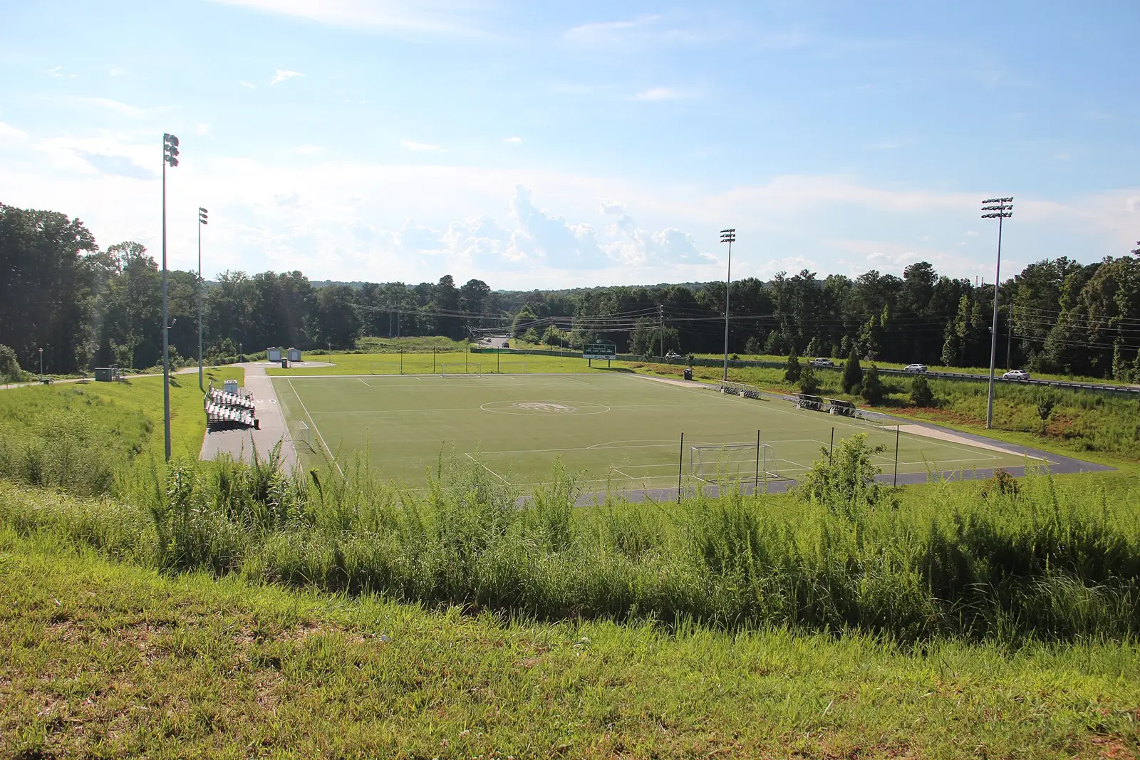
North Lawrenceville around Buford Drive, Hurricane Shoals Road and Georgia Gwinnett College: half apartments, 80% zoned for Central Gwinnett High.
Last checked Oct. 6, 2026. Sources: the City of Lawrenceville’s 2045 Comprehensive Plan (PDF) and its character area map service, Gwinnett County’s address point and school zone map data, the state’s 2025 School Grades data, Zillow Research, Ride Gwinnett and OpenStreetMap.
This is north Lawrenceville: the land between Duluth Highway and Buford Drive from downtown up to Ga. 316, and the part of the city across Ga. 316 around Georgia Gwinnett College. Hurricane Shoals Road runs through the middle. The city’s 2045 Comprehensive Plan says most of the city’s density “is concentrated around Buford Drive and Hurricane Shoals Road to the north and Stone Mountain Street to the south, where most of the City’s multi-family properties are located.”
What this means for you
- Zoned high school: Central Gwinnett High for 80% of addresses, Collins Hill High for 20%. Check yours with Find My School.
- Home value: $340,279 in ZIP 30046 and $401,742 in ZIP 30043 in August 2026, according to the Zillow Home Value Index.
- Nearest Ga. 316 interchange: Collins Hill Road, inside the area.
Part of our Lawrenceville neighborhoods guide.
Where it is
On this page the area runs north from the edge of downtown, with Duluth Highway and West Pike Street (Ga. 120) on the west and Buford Drive (Ga. 20) on the east, to the city line beyond Ga. 316. The plan’s hospital district along Duluth Highway has its own page.
Most of the area, 71% of its addresses, is in the plan’s Community Mixed Use character area, which the plan describes as “vibrant and walkable neighborhoods” mixing homes, shops and parks. North of Ga. 316 is the plan’s Education Center area, built around Georgia Gwinnett College at 1000 University Center Lane. Smaller pieces are Commercial Corridor (10%), along Buford Drive, and Traditional Residential (13%).
Gwinnett County’s address data has 1,733 addresses here. About half (877) are apartment units; most of the rest are single buildings. 80% are in ZIP code 30046 and 20% in 30043. Phoenix High, a district school at 501 W. Pike St., is in this area. Inside city limits the city provides police and trash pickup; Gwinnett County provides fire and EMS.
The plan lists two ideas for new partial access to Ga. 316 here, at Lawrenceville-Suwanee Road and at Walther Boulevard, both as concepts with no funding source named yet.
Schools
How the area’s addresses split in Gwinnett County Public Schools’ zone map, matched address by address on Oct. 6. Scores are 2025 College and Career Ready Performance Index (CCRPI) figures from the state’s School Grades report; the state average was 78.0 and the district’s 81.5.
| Level | School | Share of addresses | 2025 CCRPI |
|---|---|---|---|
| High | Central Gwinnett High (report card) | 80% | 67.5 |
| High | Collins Hill High (report card) | 20% | 78.8 |
| Middle | Moore Middle (report card) | 80% | 70.0 |
| Middle | Creekland Middle (report card) | 20% | 83.7 |
| Elementary | Lawrenceville Elementary (report card) | 80% | 77.5 |
| Elementary | Taylor Elementary (report card) | 20% | 81.8 |
The Collins Hill, Creekland and Taylor addresses are the ones in ZIP 30043 at the north end. Two addresses are zoned for McKendree Elementary. More in our Lawrenceville schools guide.
Home values
The typical home value in ZIP 30046 was $340,279 in August 2026, down 2.85% from $350,276 in August 2025, according to the Zillow Home Value Index. In ZIP 30043 it was $401,742, down 2.25% from $410,971. The index is a modeled typical value for the middle third of homes, not a sale price, and each figure covers the whole ZIP code, most of it outside city limits in the case of 30043. The citywide Lawrenceville figure was $376,674, down 2.55% on the year. More in our home prices guide.
Parks and trails
There is no public park inside this area. The nearest are county parks:
- Collins Hill Park, 2225 Collins Hill Road, north of the city: ball fields, sand volleyball and a 1.5-mile unpaved trail, with the Collins Hill Aquatic Center across the street (park page).
- Rhodes Jordan Park, 100 E. Crogan St., east of downtown: 162 acres with a lake, a summer pool and a 1.9-mile paved trail (park page).
More in our parks guide.
Getting around
- Ga. 316: interchanges at Collins Hill Road, inside the area, and at Buford Drive and Duluth Highway on its edges. I-85 is reached at Exit 106 by Ga. 316 west.
- City Hall: about 2.3 miles by road from the middle of the area.
- Airport: about 41 miles to Hartsfield-Jackson Atlanta International Airport. Both are distances measured on the OpenStreetMap road network with the OSRM routing engine, not drive times.
- Bus: Ride Gwinnett Route 40 has three stops on West Pike Street at the area’s south end, according to Ride Gwinnett’s schedule data. No route runs up Buford Drive or Hurricane Shoals Road.
More in our getting around guide.
Groceries and everyday stores
From OpenStreetMap:
- Walmart Supercenter, 630 Collins Hill Road, inside the area
- Publix, 911 Duluth Highway, just west of the city line
How we drew this area
The plan names Buford Drive and Hurricane Shoals Road as the center of north Lawrenceville’s apartment communities. Its edges here follow Duluth Highway, Buford Drive and the city limit, leaving out the plan’s Downtown and Medical Services Cluster character areas, which have their own pages. School shares come from every address point inside it in Gwinnett County’s address data, matched to the county’s school zone layer on Oct. 6, 2026. Store locations are © OpenStreetMap contributors.
Frequently asked questions
Is the Buford Drive and Hurricane Shoals Road area of Lawrenceville a good place to live?
Here are the facts. It is north Lawrenceville between Duluth Highway and Buford Drive, out past Ga. 316 to Georgia Gwinnett College, with 1,733 addresses, about half of them apartments. Eighty percent are zoned for Central Gwinnett High, which scored 67.5 on the state’s 2025 CCRPI, and Zillow put the typical home value in ZIP 30046 at $340,279 in August 2026.
Which high school serves north Lawrenceville near Georgia Gwinnett College?
It depends on the address. In Gwinnett County Public Schools’ zone map, 80% of addresses in this area are zoned for Central Gwinnett High and 20%, all in ZIP 30043 at the north end, for Collins Hill High.
Is Georgia Gwinnett College inside Lawrenceville city limits?
Yes. The campus at 1000 University Center Lane is inside city limits in Gwinnett County’s address data, in ZIP 30043.
What ZIP code is north Lawrenceville?
Mostly 30046. In Gwinnett County’s address data, 80% of this area’s addresses are in 30046 and 20% in 30043.
Have your say